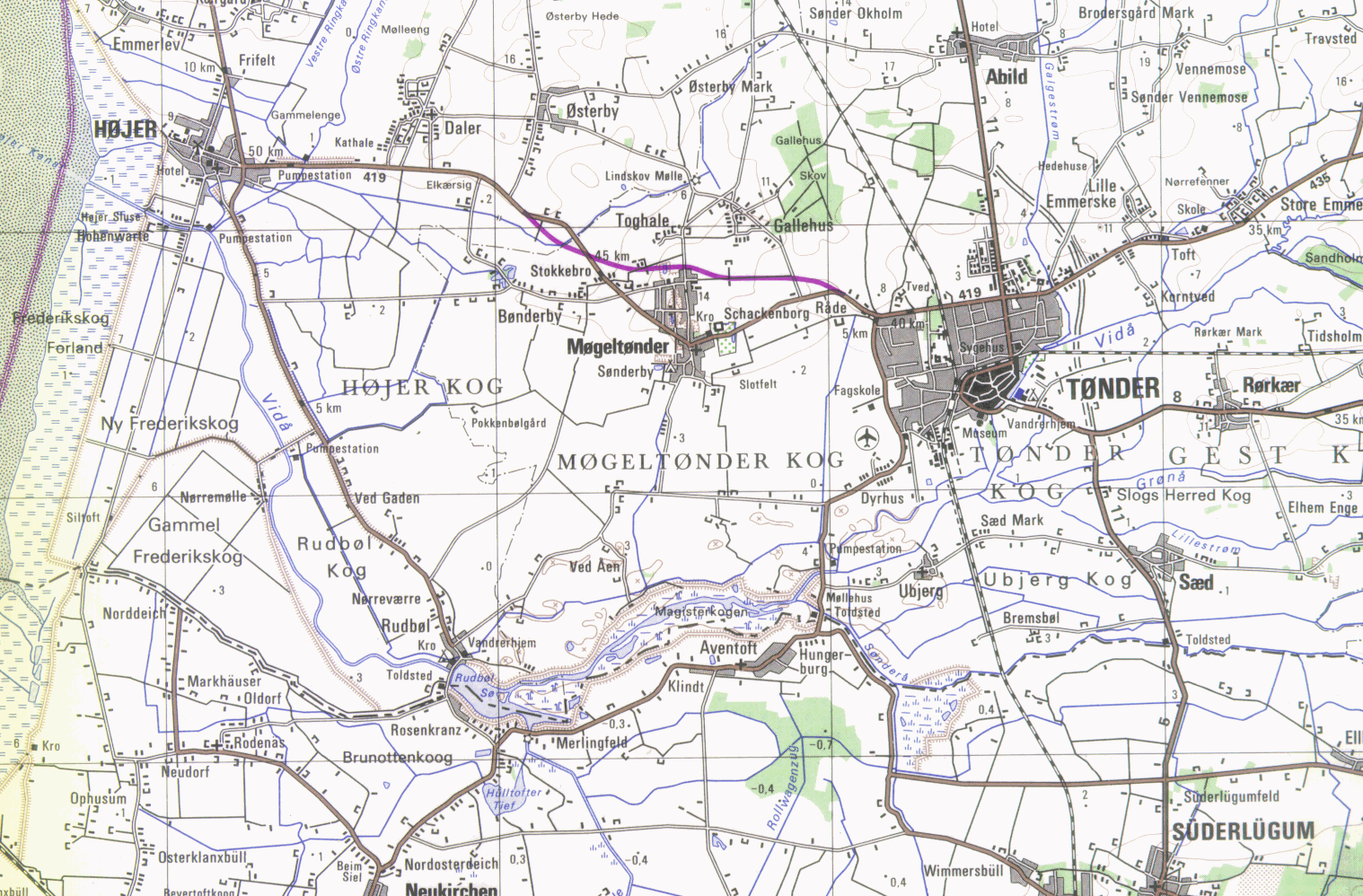
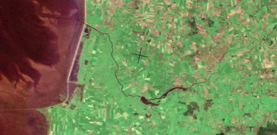
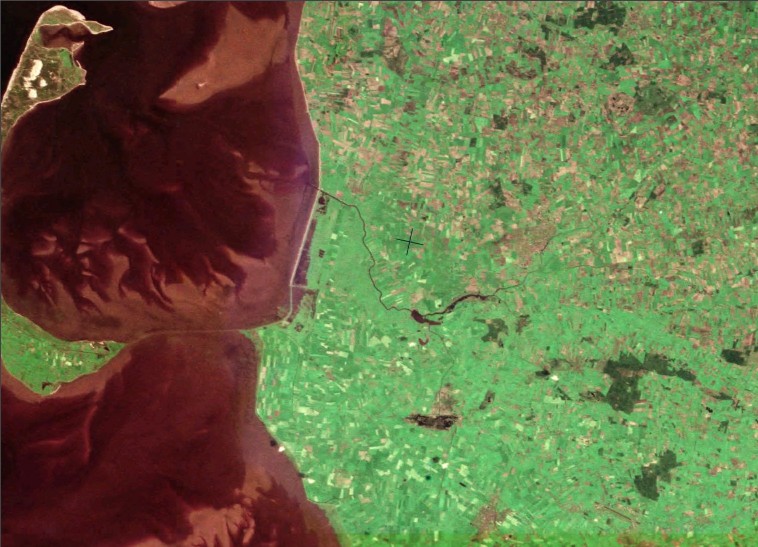
This river Vidå is located in the South of Denmark at the border to Germany in a region of salt marshes. 'Salt marshes' (Marsch, Marsk) is the term used to describe low stretches of clayey coastline formed by the deposition of sludge which is washed along by tidal water and bound by vegetation. When these stretches are no longer washed over by daily high tides, salt meadows are no longer formed and the fertile meadows are then protected by dykes. This type of area, protected by dykes, is called a 'polder' (kog, koog).
Tønder, the capital of the salt marshes, is situated on the southern point of a low bank, 1-2 metres above sea level, surrounded by polders on three sides. During winter these polders used to be flooded with water from the mighty Vidåen river system. This was relieved by a drainage system including pump stations (pumpestation) in the 1920s. This leads to several smaller branches and tributary streams and a water regulation systems by several control structures. The river is highly controlled with weirs and gates so that the river is protected from tides and surges, and yet can pass floods from upstream.
In 1947 large parts of Tønder were flooded. The increasing draining of the Tønder marsh has often caused too high water level in Vidåen, and during continuous storm periods the low dikes had difficulties to keep the water and ensure the land inside the dikes.
The river mouth of the river Vidå is nearby Højer to the North Sea such that tides and surges affect the downstream reaches of the river. Storm floods, which broke through the sea dykes and spread death and destruction, were a greater threat than the river water. For a hundred years Tønder and its hinterland were protected by the Højerdiget dyke, built in 1861, but this gradually proved insufficient.
The flood on January 3, 1976 clearly showed that the old Højer dike hardly can stand up to the pressure on a long-term basis.
More than 10,000 people had to be evacuated and there was a great risk that Tønder and the many enterprises in the town would be flooded. The old Højer dike is 6,4 m high above Danish Normal Zero (i.e. mean water level between low and high tide). During the flood the water level at Højer floodgate was measured at 4,92 m to which approx. 2 m should be added from the wave gathering. The flood cause damages amounting to more than DKK 50 Mio.
The rings on a storm flood pillar at the sluice in front of the old Højerdiget dyke show the water level of storm floods through the ages and this still acts as a constant warning that the sea should be taken seriously.
In 1977 a bill was passed to build a new dike from Emmerlev Klev to the dam at Sylt. Since the project crossed the border, the work was to be carried out both by Denmark and Germany. The new dike has a total length of 13.3 km of which 8.6 km are in Denmark and 3.65 km in Germany. The new dyke can withstand water levels 6 metres higher than normal and 2 metre waves. A gate is built into the dike which takes the outflowing stream water. The gate is divided into 3 lock gates with 3 automatic gates and 3 lock chambers with a total width of 20 m.
The new dike was completed on October 1, 1981 and only one month later the dike was put to the first and severe test when a flood occurred on November 24. The water level reached almost the same height as in 1976. The new dike 'The Margrethe Dike' was inaugurated by Queen Margrethe and the German Federal President Karl Carstens.
When diking in an area totalling 1,400 ha was reclaimed - 1,000 ha in Denmark. Approx. 650 ha are used for agricultural purposes, primarily grazing, since it is not allowed to build in the new polder for safety reasons. The remaining 350 ha are used as a reservoir, which during high tide when the flood gates are closed, can gather the water until the flood gates are opened again. By doing so the pressure on the stream dike and Rudbøl Sø is removed. Previously during westerly gales the stream dike and Rudbøl Sø were supposed to take the large rain quantity from Vidåen.
Report: "Evaluation of Dike Safety and Flood Risks in the Vidå River System including Future Climate Change" from www.grenzwasser.eu
Please have a look on the map of this region:
Please use services like Google Earth and GoogleMap to get additional maps:
Some photos from this region had been made, please have a look on:
Please use also other photo collections of the region from the Internet to get an impression of the river and the landscape.